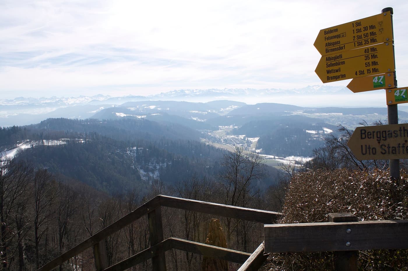
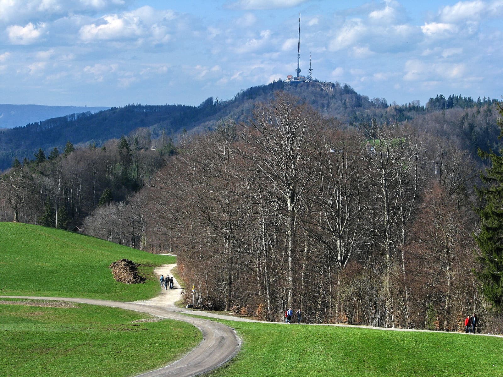
For people in Zurich the Uetliberg is first of all a mountain you walk up — before work, after work, on Sunday with the family. The climb from the edge of the city is about 400 metres of ascent on good forest paths, and takes most people between an hour and an hour and a half. All routes are signposted with the yellow diamonds and signs of the Swiss hiking network.
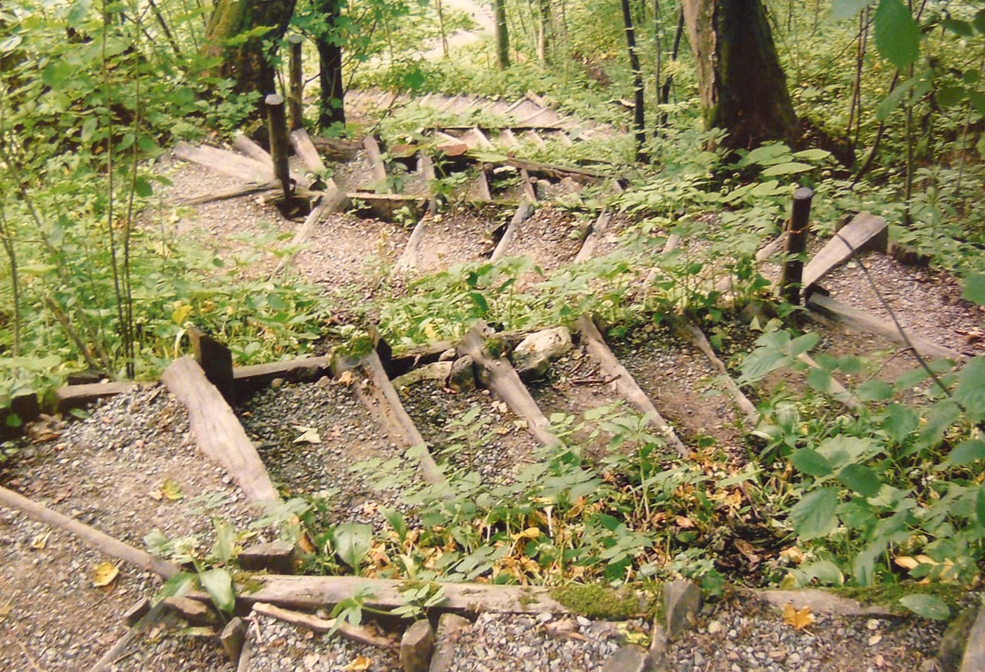
The paths differ a lot in character. Some are broad forest tracks that work in trainers and even with an all-terrain pushchair; others are steep, stepped and rooty, and call for proper shoes. In the forest it stays cool on hot days, and in winter the steeper routes can be icy.
Top things to do: Hiking Routes up the Uetliberg
From Triemli: the classic ascent
Take tram 14 (or the S10) to Triemli and follow the signs for “Uetliberg”. Several paths lead up through the forest, joining the ridge below the station; allow about an hour to an hour and a quarter. This is the most used and easiest-to-follow way up.
The Laternenweg from Albisgütli
From the tram 13 terminus at Albisgütli, the Laternenweg (“lantern path”) climbs to the summit. It takes its name from the street lamps that line it, which make it the favourite route for evening and winter walks.
The Denzlerweg: short and steep
The Denzlerweg is the direct line: a narrow path that climbs steeply, with many steps, from the Kolbenhof area above Albisgütli straight to Uto Kulm. It is the sporty option, and not one for wet or icy days.
The easy way: from Ringlikon
If you want a walk but not a climb, ride the S10 to Ringlikon and stroll up from there on a broad forest track in around 40 minutes.
Getting there: Hiking Routes up the Uetliberg
- Triemli: tram 14 from the main station, or the S10. The paths start above the hospital.
- Albisgütli: tram 13 from the main station and Bahnhofstrasse to the terminus.
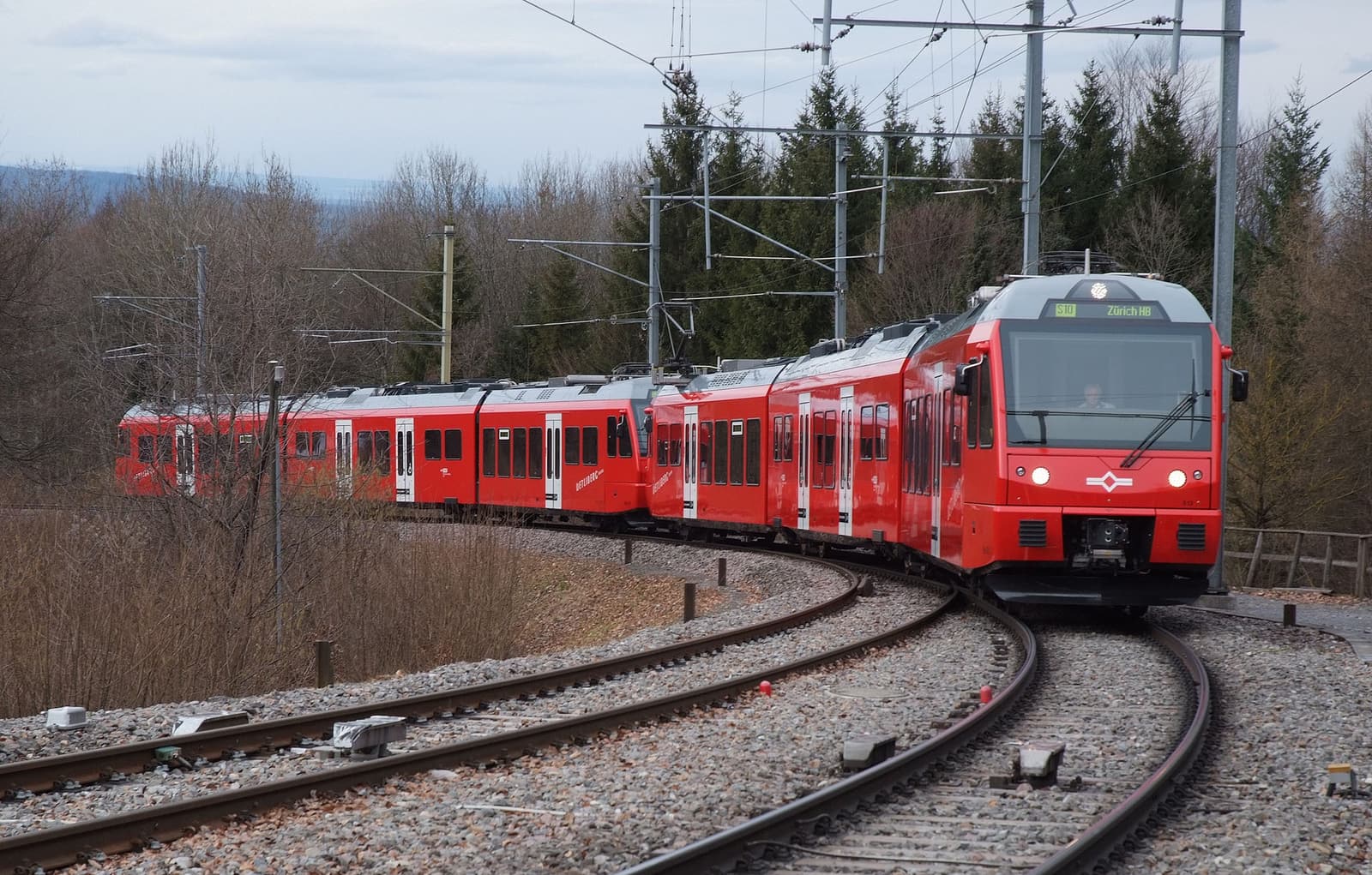
- Getting back: walk up and ride the S10 down (buy a ticket from “Uetliberg” in the app), or walk the Planet Trail and descend by cable car from Felsenegg.
Insider tips
- Paths are occasionally closed after storms or for forestry work. The city’s parks department (Grün Stadt Zürich) posts closures; follow the diversions on site.
- Wear shoes with grip. After rain the clay soil on the steep sections is slippery.
- Mountain bikers have their own marked trails; hikers should stay off those, for everyone’s safety.
- There are drinking fountains at some trailheads but little water on the way — carry a bottle.
Best tours & tickets for Hiking Routes up the Uetliberg
These top-rated experiences pair well with a visit to Hiking Routes up the Uetliberg:
 Guided hike from €70
 Zurich: Accompanied Hike to Uetliberg
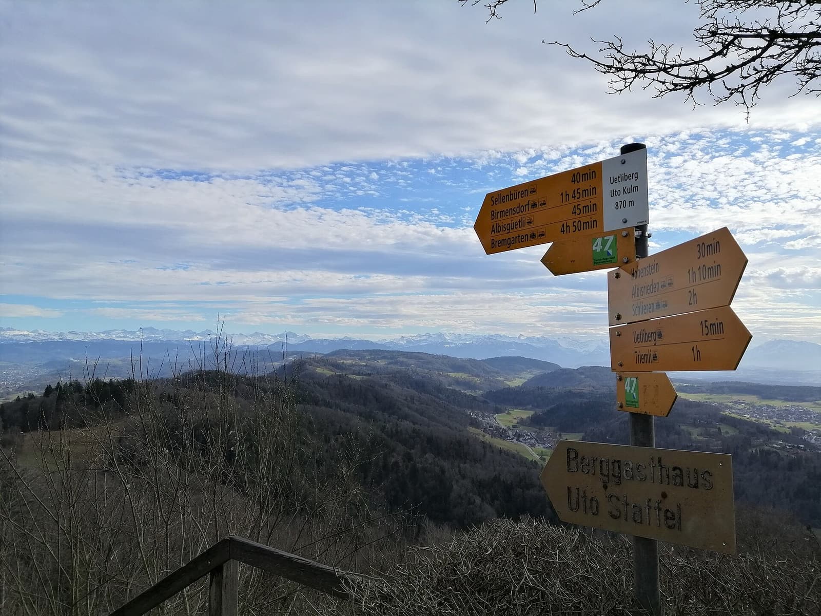
A two-hour accompanied hike up the mountain for people who would rather not work out the route alone. It is a new activity on GetYourGuide and had no reviews when we checked, so read the latest feedback before booking.
- Beginner-friendly walk up Zurich’s local mountain
- A local guide who knows the paths
- Panoramic views from the top
 Small-group hike with food from €58
 Zurich: Hop to Uetliberg for Zurich Views & Outdoor Raclette
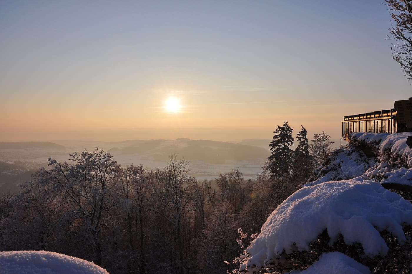
A short guided outing that ends the Swiss way: with melted raclette cheese eaten outdoors above the city. It is a small, fairly new listing with very few reviews so far, but it is one of the only experiences built specifically around the mountain.
- Short guided walk to a viewpoint on the Uetliberg
- Raclette melted and served outdoors
- Small group with a local host
 Private hike from €209
 Zurich: Guided Half-Day Private Uetliberg Mountain Hike
A private guided half-day on the mountain. It is much more expensive than walking it yourself and had no reviews when we checked, but it suits groups who want a tailored walk and local knowledge.
- A private guide for your group only
- Route and pace adapted to you
- Time for the summit viewpoints